
 NPS
NPS
Congaree National Park
Tonight at Congaree National Park
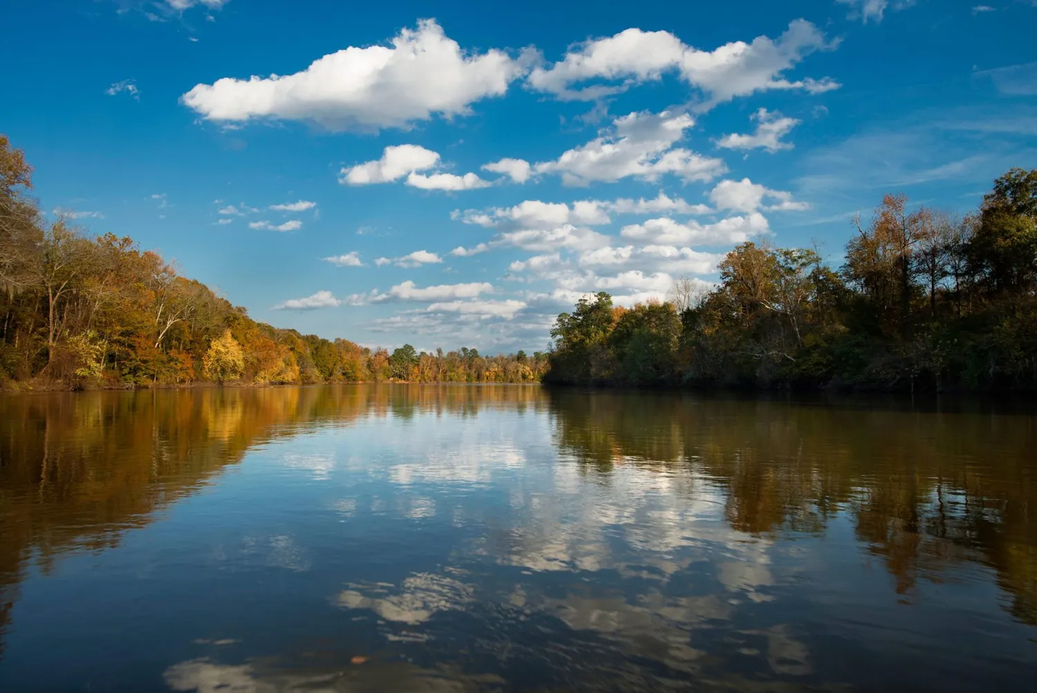
Astonishing biodiversity exists in Congaree National Park, the largest intact expanse of old growth bottomland hardwood forest remaining in the southeastern United States. Waters from the Congaree and Wateree Rivers sweep through the floodplain, carrying nutrients and sediments that nourish and rejuvenate this ecosystem and support the growth of national and state champion trees.
Weather & conditions
Check the forecast before getting on the road. Conditions can change rapidly within the park. Flooding can happen with little or no warning, so make sure to check water levels for Cedar Creek and the Congaree River.
What this latitude gives you
From 33.8° north, anything above declination +56.2° is circumpolar here: it never sets, so it is available on every clear night of the year. Anything below declination -56.2° never clears the horizon at all.
Astronomical darkness lasts through every night of the year here, including midsummer, which makes this a rare site for a June or July imaging trip.
We do not hold a measured Bortle class for this site, so treat the sky as unknown until you have taken a reading of your own.
Where to stay near Congaree National Park
Hotels, cabins, lodges and holiday rentals within reach of these coordinates, for the nights you have chosen above. We earn a commission if you book through this map, at no extra cost to you. It does not change what you are shown: nothing here is ordered, promoted or paid for. How the site is paid for.
- Address
- 100 National Park Road, Hopkins, SC 29061
- Phone
- 8037764396
- Coordinates
- 33.7919, -80.7487
- Official site
- nps.gov