
 NPS Photo
Capitol Reef National Park
Tonight at Capitol Reef National Park
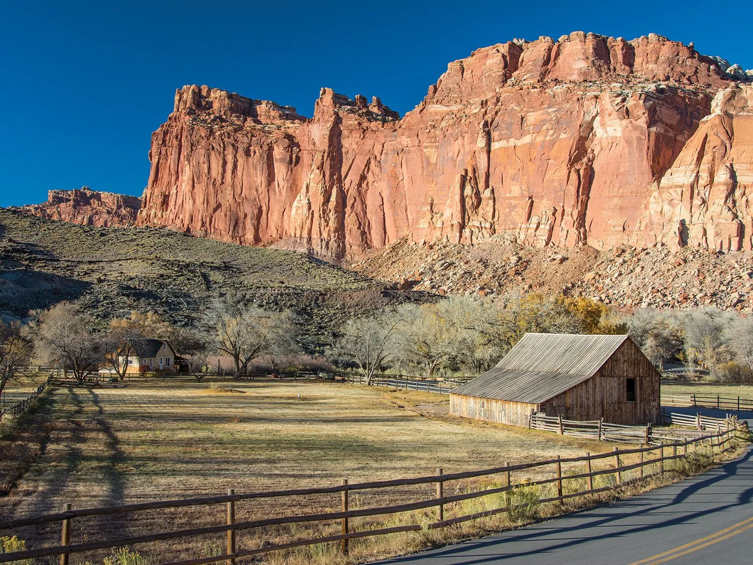
Located in south-central Utah in the heart of red rock country, Capitol Reef National Park is a hidden treasure filled with cliffs, canyons, domes, and bridges in the Waterpocket Fold, a geologic monocline (a wrinkle on the earth) extending almost 100 miles.
Weather & conditions
Weather is posted daily; check at the park visitor center for weather updates. Do not enter into narrow canyons if there is a threat of rain or if rain has been falling in the area. Rain and snow may also make dirt roads impassable to vehicles.
What to do after dark
-
Stargaze
Capitol Reef protects extremely dark night skies, and is a wonderful place to stargaze.
What this latitude gives you
From 38.3° north, anything above declination +51.7° is circumpolar here: it never sets, so it is available on every clear night of the year. Anything below declination -51.7° never clears the horizon at all.
Astronomical darkness lasts through every night of the year here, including midsummer, which makes this a rare site for a June or July imaging trip.
We do not hold a measured Bortle class for this site, so treat the sky as unknown until you have taken a reading of your own.
Where to stay near Capitol Reef National Park
Hotels, cabins, lodges and holiday rentals within reach of these coordinates, for the nights you have chosen above. We earn a commission if you book through this map, at no extra cost to you. It does not change what you are shown: nothing here is ordered, promoted or paid for. How the site is paid for.
- Address
- 52 West Headquarters Drive, Torrey, UT 84775
- Phone
- 435-425-3791
- Coordinates
- 38.2822, -111.2470
- Official site
- nps.gov